")
PDF
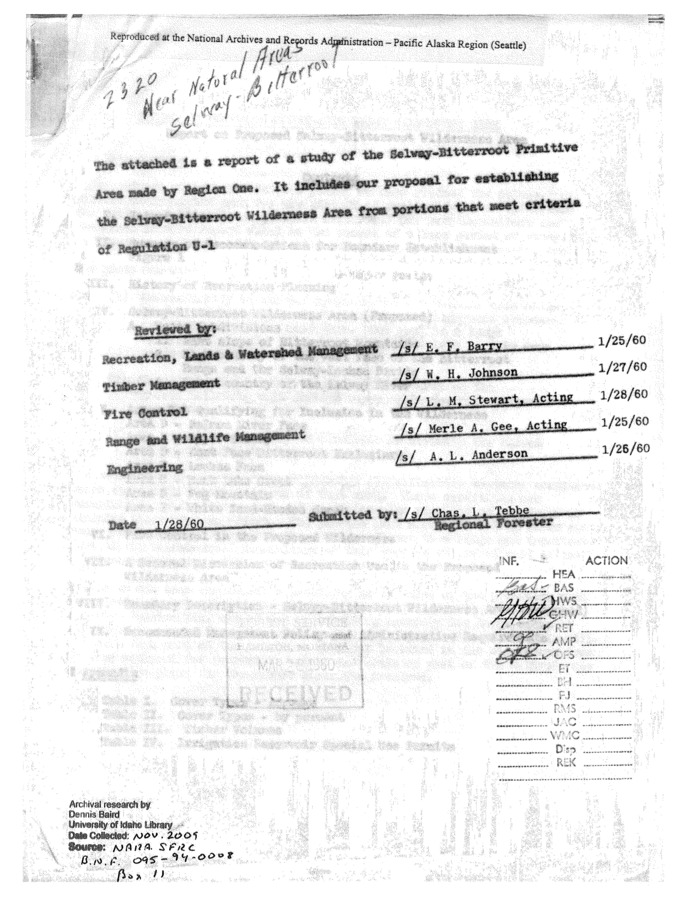
Map of proposed SBW area boundaries, c. 1960. Item Info
- Title:
- Map of proposed SBW area boundaries, c. 1960.
- Creator:
- Unknown
- Date Created:
- 1960
- Subjects:
- Wilderness classification
- Location:
- Selway-Bitterroot Wilderness (Idaho and Mont.)
- Latitude:
- 46.116667
- Longitude:
- -114.933333
- Source:
- NARA SFRC
- Source Identifier:
- 85
- Type:
- Text
- Format:
- application/pdf
- Language:
- eng
Source
- Preferred Citation:
- "Map of proposed SBW area boundaries, c. 1960.", Demo Collection, Center for Digital Inquiry and Learning (CDIL)
- Reference Link:
- https://hgreen14.github.io/democollection/items/sbw245.html
Rights
- Rights:
- In Copyright - Educational Use Permitted. For more information, please contact University of Idaho Library Special Collections and Archives Department at libspec@uidaho.edu.
- Standardized Rights:
- http://rightsstatements.org/vocab/InC-EDU/1.0/